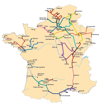
Navigable Waterways
The Lot (From Luzech to Larnagol)
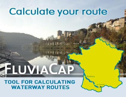
Display the route
 The Lot descends the Mont Lozère to enter Quercy around the ancient fortified town of Capdenac. It crosses the department that bears its name over nearly 200 km. The Lot descends the Mont Lozère to enter Quercy around the ancient fortified town of Capdenac. It crosses the department that bears its name over nearly 200 km.
The restoration of navigation on the Lot is the end result of discussions carried out by the Lot Departmental Council with municipalities and associations in the department. This important operation for the development of tourism began in 1987. It allowed the reopening, at the moment, of a navigable route of 74 km.
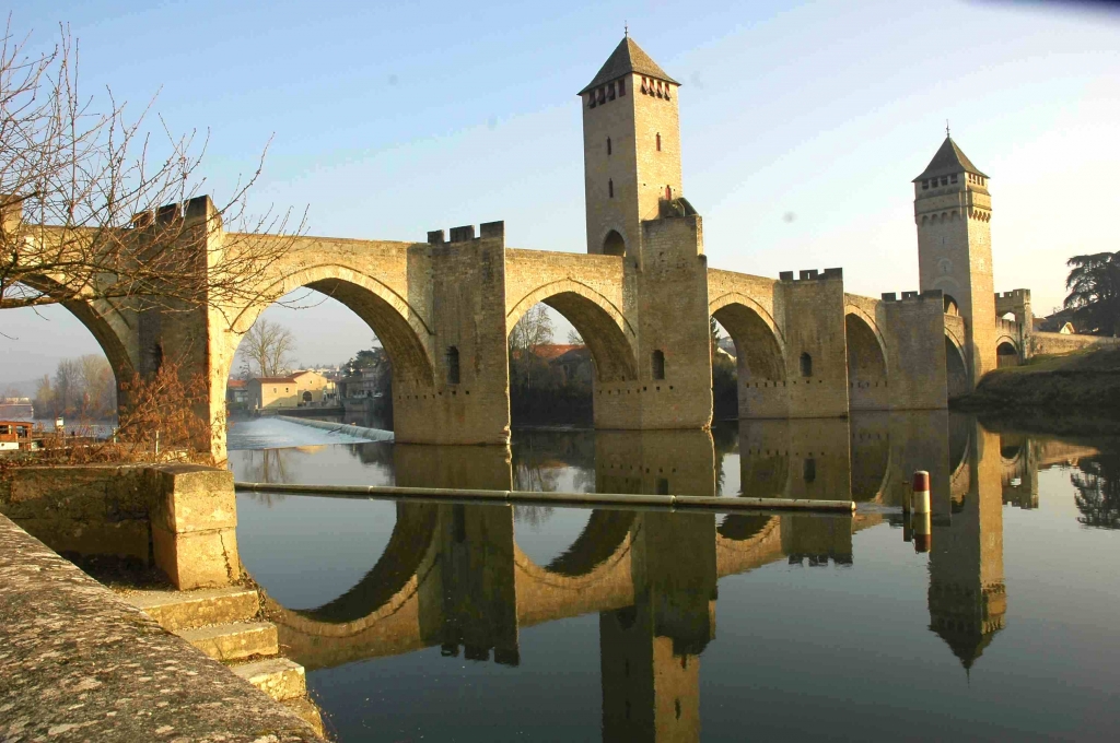
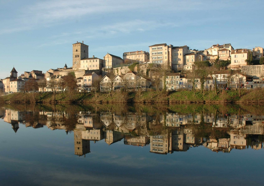 We say that it is "born of the alchemy of the light, limestone and water". The Lot stands out as a world apart, of sharp contrasts. It alternates sharp reliefs and flat terraces, dry limestone plateaus and fertile valleys… Downstream of Vers, the cliffs, cut into the compact limestone of the plateau, give way to long, abrupt and wooded slopes that plunge down to the banks. We say that it is "born of the alchemy of the light, limestone and water". The Lot stands out as a world apart, of sharp contrasts. It alternates sharp reliefs and flat terraces, dry limestone plateaus and fertile valleys… Downstream of Vers, the cliffs, cut into the compact limestone of the plateau, give way to long, abrupt and wooded slopes that plunge down to the banks.
|