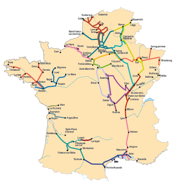
Navigable Waterways
The estuary of the Seine, the Tancarville canal, the Seine Maritime, the Basse Seine and the transit of Paris.
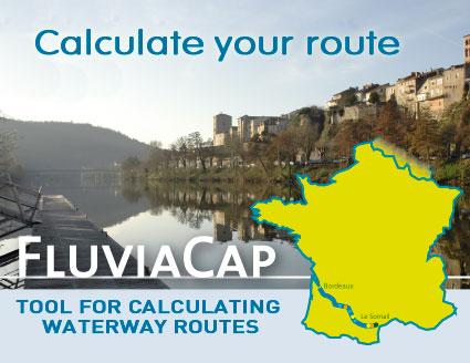
Display the route
 "Paris - Le Havre: a single city for which the Seine is the main street". This statement by Bonaparte is the guiding principle of Antoine Grumbach's project for a great river and maritime metropolis, "Seine-Métropole". "Paris - Le Havre: a single city for which the Seine is the main street". This statement by Bonaparte is the guiding principle of Antoine Grumbach's project for a great river and maritime metropolis, "Seine-Métropole".
It is true that, in this great basin, everything leads to the Seine. It is a very important commercial transit route, and will be even more important when the North-Seine canal is cut to connect it to the broad canals of Northern Europe.
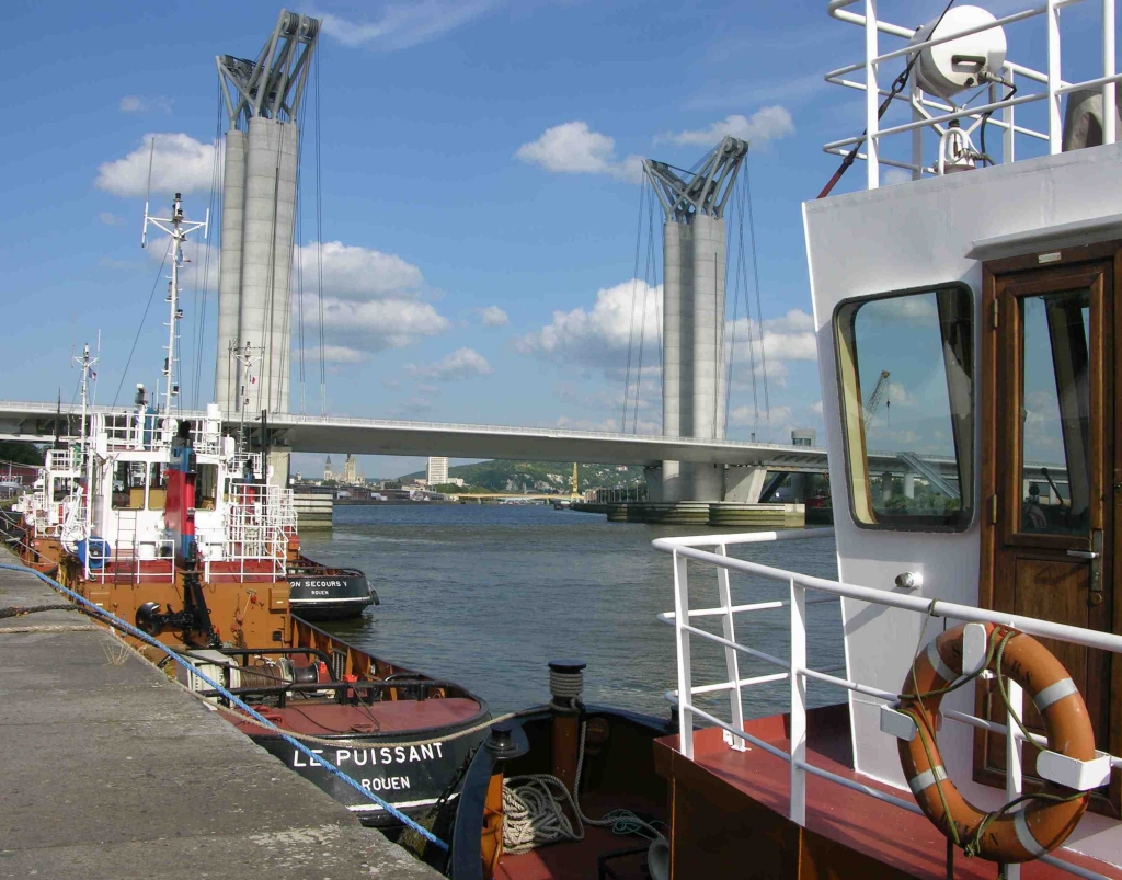
There are very few bridges before Rouen on the Seine Maritime, other than those of Brotonne, Tancarville and Normandie. Ferries make up for this absence and help to enliven the river, but they mean that great care is required by the navigator.
 Then, it is the Seine of the Impressionists, and the route alternates between wooded banks and limestone cliffs. Then, it is the Seine of the Impressionists, and the route alternates between wooded banks and limestone cliffs.
As for the transit of Paris by boat, it is a marvel that requires great attention from the pilot and… an inland waterways boating license.
168 pages including 85 pages of maps. The first 40 pages are reserved for the regulations. It is an essential chapter, written with the aid of the services of the Great Maritime Port of Rouen and the Ports of Paris, which covers all the specifics of navigation in the Seine Maritime and Basse Seine. You will find all of the tidal graphs and current speed graphs that you need to consult before traversing the Maritime section.
Maps at a scale of 1/15,000, then at 1/25,000 in the Paris transit
|