Navigable Waterways
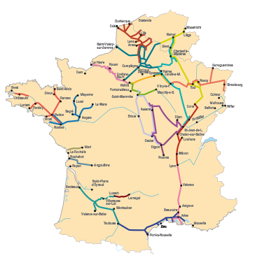
Le Pertuis d'Antioche (from La Rochelle to the île d'Aix), Charente maritime (from Fouras to Saint-Savinien), downstream Charente (from Saint Savinien to Cognac), upstream Charente (from Cognac to Angoulême).
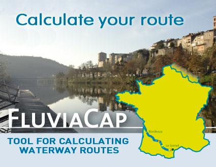
Display the route
 The Charente is connected only to the ocean and to the Pertuis at la Rochelle, but it offers pleasure sailors a week of navigation in a fabulous hinterland: The Charente is connected only to the ocean and to the Pertuis at la Rochelle, but it offers pleasure sailors a week of navigation in a fabulous hinterland:
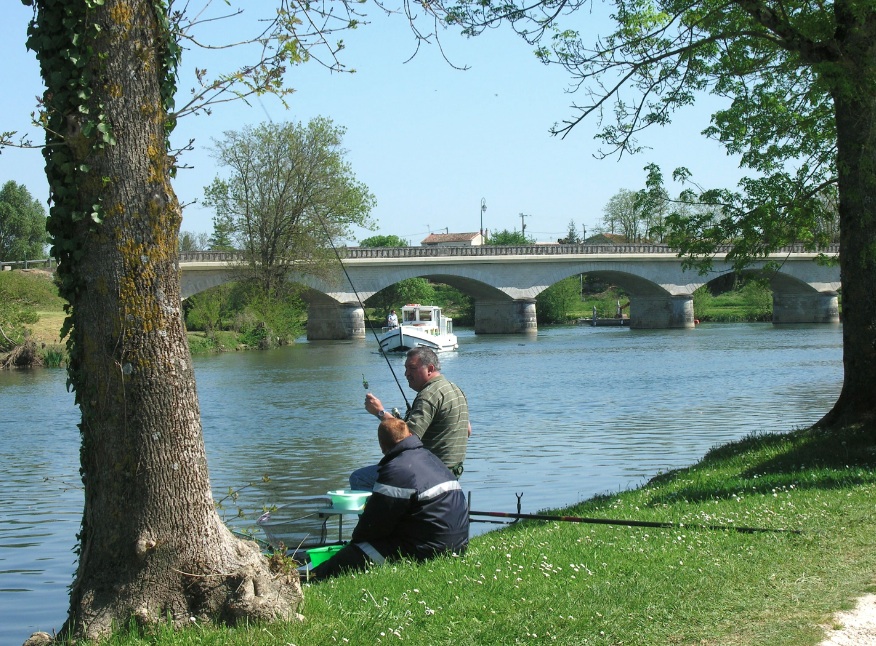
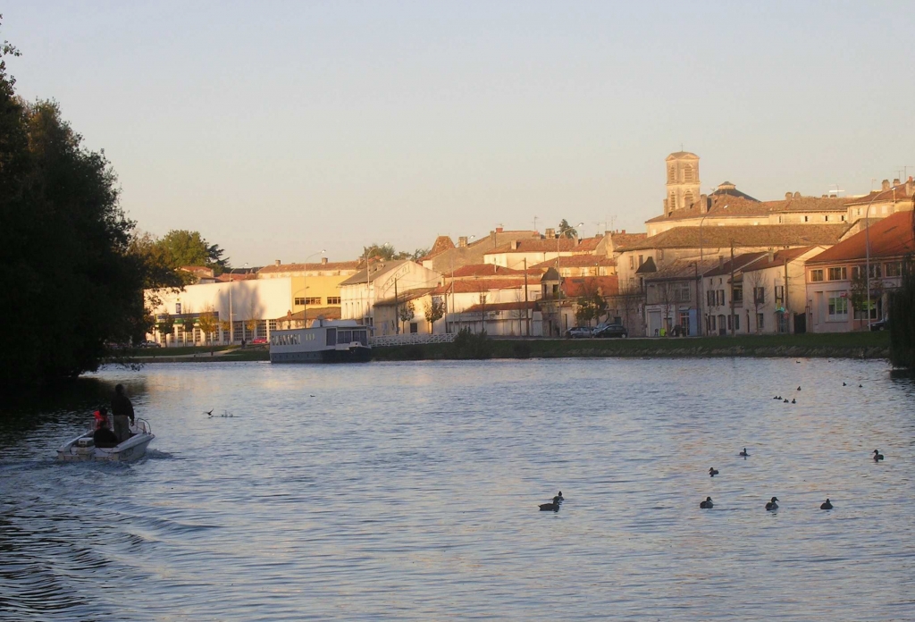
We leave the swell of the Pertuis to join the silty waters of the estuary then, a little further on, discover the astonishing transparency of the river and its pretty overflows. And it is nothing but a succession of superb towns and picturesque villages; an anthology of Roman churches, wine cellars, forts, mills and castles…
 The colours of the summer are extraordinary in Charente; the palest green, more pastel under the sun, is not the same as elsewhere. The water here is strangely limpid and the banks, giving off the scent of mint, suggest wild stopovers for unforgettable nights; nights that are "beunaises", or "at ease", as locals say. The colours of the summer are extraordinary in Charente; the palest green, more pastel under the sun, is not the same as elsewhere. The water here is strangely limpid and the banks, giving off the scent of mint, suggest wild stopovers for unforgettable nights; nights that are "beunaises", or "at ease", as locals say.
NOTE: The detailed maps of La Rochelle, Rochefort, Saintes, Cognac and Angoulême mean you can easily get your bearings in the towns along the way. And the marine charts of the Pertuis Breton, the Pertuis d'Antioche and the mouth of the Charente facilitate trips to sea.
|