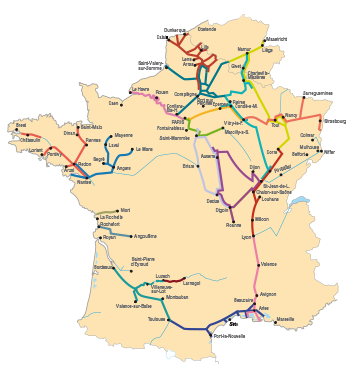
Navigable Waterways
The Pertuis Breton (from La Rochelle to the Port du Plomb), the Baie de l'Aiguillon (from the Port du Plomb to the Port du Pavé), the estuary of the Sèvre (as far as the lock at Brault), the Brault Maritime canal (between the lock at Brault and Marans), the Sèvre Niortaise (from Marans to Niort), the Jeune Autize (as far as Maillezais), the Vieille Autize (as far as Courdaut), the Bourneau canal (as far as Grande Bernegoue) and the Canal du Mignon (as far as the lock at Sazay).
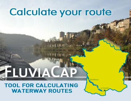
Display the route
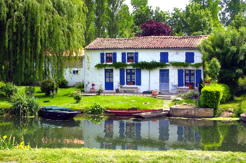 The name of "green Venice" has been given to this entire area of wetlands. The name of "green Venice" has been given to this entire area of wetlands.
While waiting for the reopening of the Marans to La Rochelle Canal, which we hope will be soon, we will return to the Sèvre estuary by crossing the Bay of Aiguillon.
The backbone of the impressive aquatic labyrinths of the Marais Poitevin, the Sèvre Niortaise is navigable over about 70 km as far as Niort. The 4,000 km of "conches" that it drains are only accessible in rowing boats or canoes (motors are not allowed on the Sèvre and its main tributaries: the Jeune and the Vieille Autize, and the Mignon).
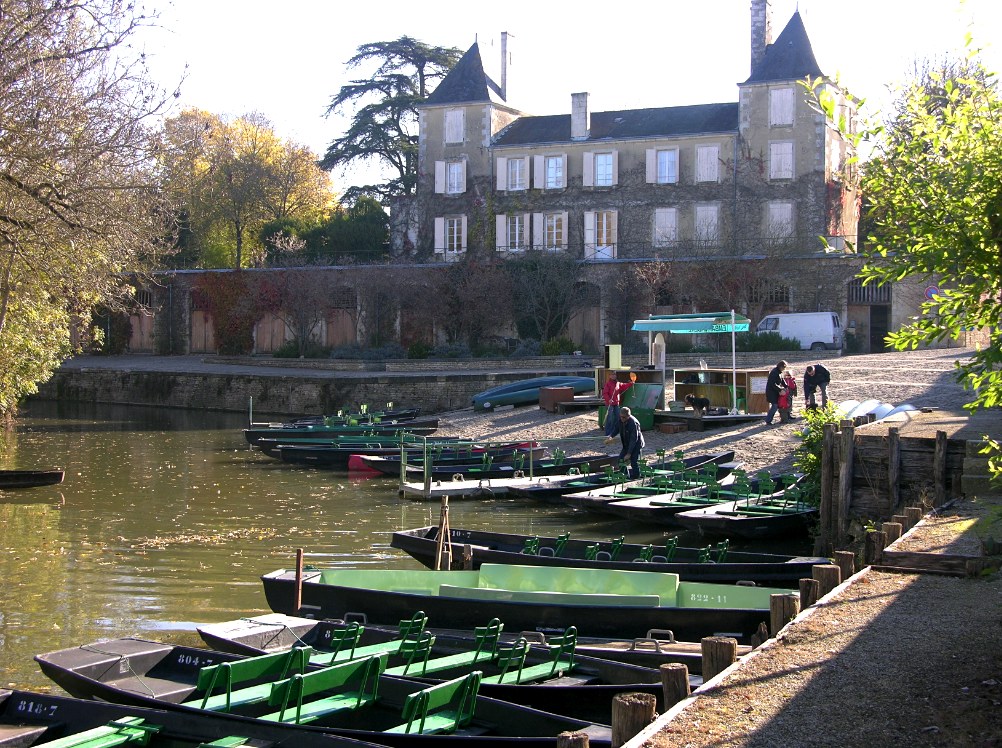 On board the boat, canoes and bicycles therefore become essential extra items. The habitable boat will be the base camp which advances slowly, while the canoe becomes the means of adventure, allowing trips into the shadowy conches where the water hides beneath a carpet of water lentils. As for the bicycle, it is a convenient means of transport and quite easy in the absence of hills. On board the boat, canoes and bicycles therefore become essential extra items. The habitable boat will be the base camp which advances slowly, while the canoe becomes the means of adventure, allowing trips into the shadowy conches where the water hides beneath a carpet of water lentils. As for the bicycle, it is a convenient means of transport and quite easy in the absence of hills.
NOTE: Detailed plans of La Rochelle and Niort allow you to get your bearings at the stopovers in these large towns, and the marine charts of the Pertuis Breton and the Anse de l'Aiguillon facilitate trips to sea.
|