Discover our maps and guides

Presentation of navigable waterways

Fluviacap : prepare your trip

Which guide? Which map?
Fluviacarte guides are published by FLUVIAL, the inland navigation magazine. The collection of 24 guides and maps covers almost all the navigable waterways of France and southern Belgium. Discover those that will accompany your cruises, your routes and your stopovers.

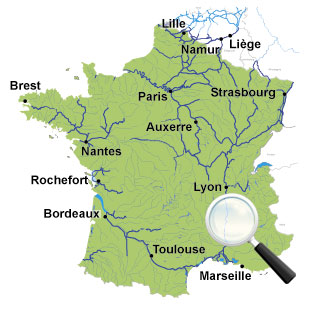
Which navigable waterway?
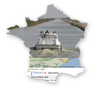
In two clicks, access the main characteristics of 165 navigable waterways in France and southern Belgium: length, number and dimensions of locks, draught and clearance, details of navigation services, ports, halts, boatyards and rental bases.

Which route?
Fluviacap (shortened to "Fluppy") is a sort of Mappy for waterways, a powerful tool for calculating navigable routes. Choose the shortest route, the fastest route or the one with the least locks: stages and route times are displayed and you can see the route of your next cruise.

© Éditions de l'écluse